📝 Property Description
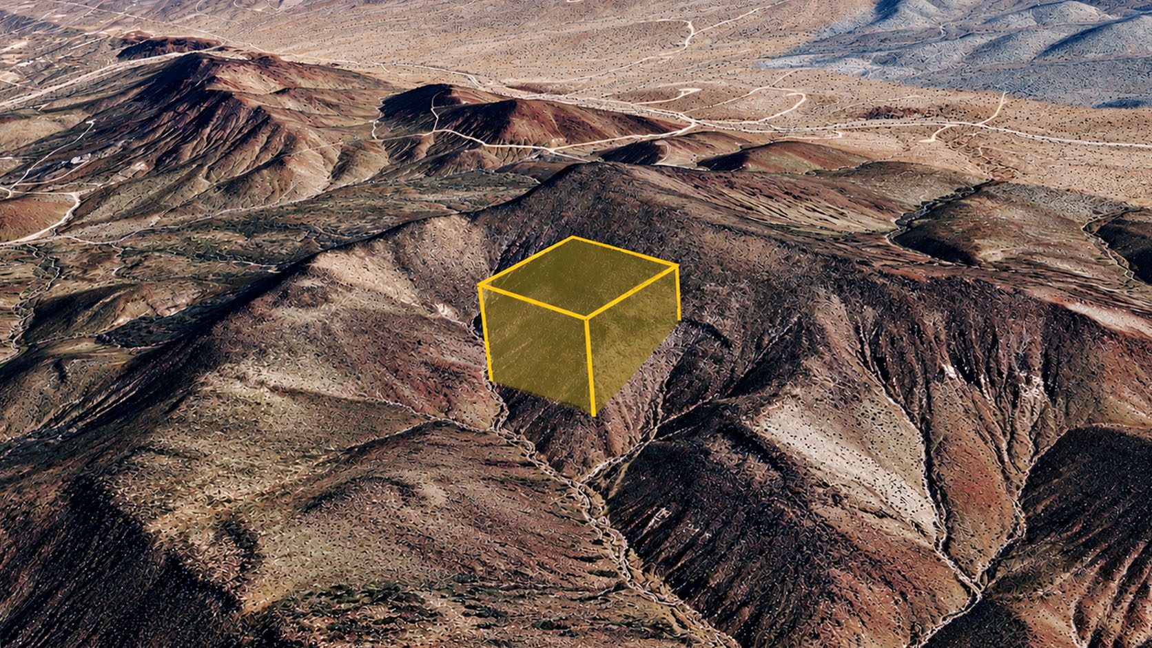
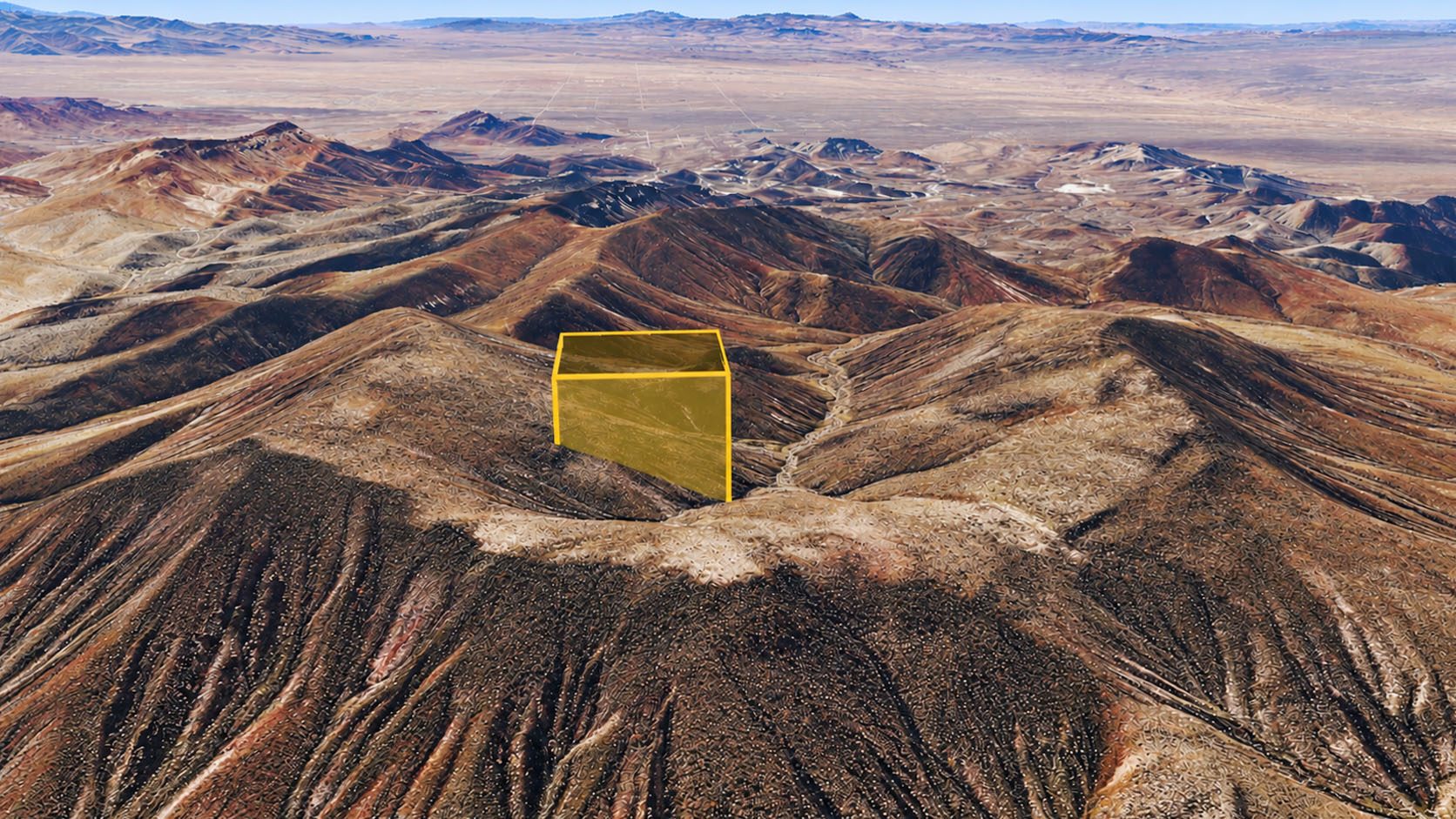
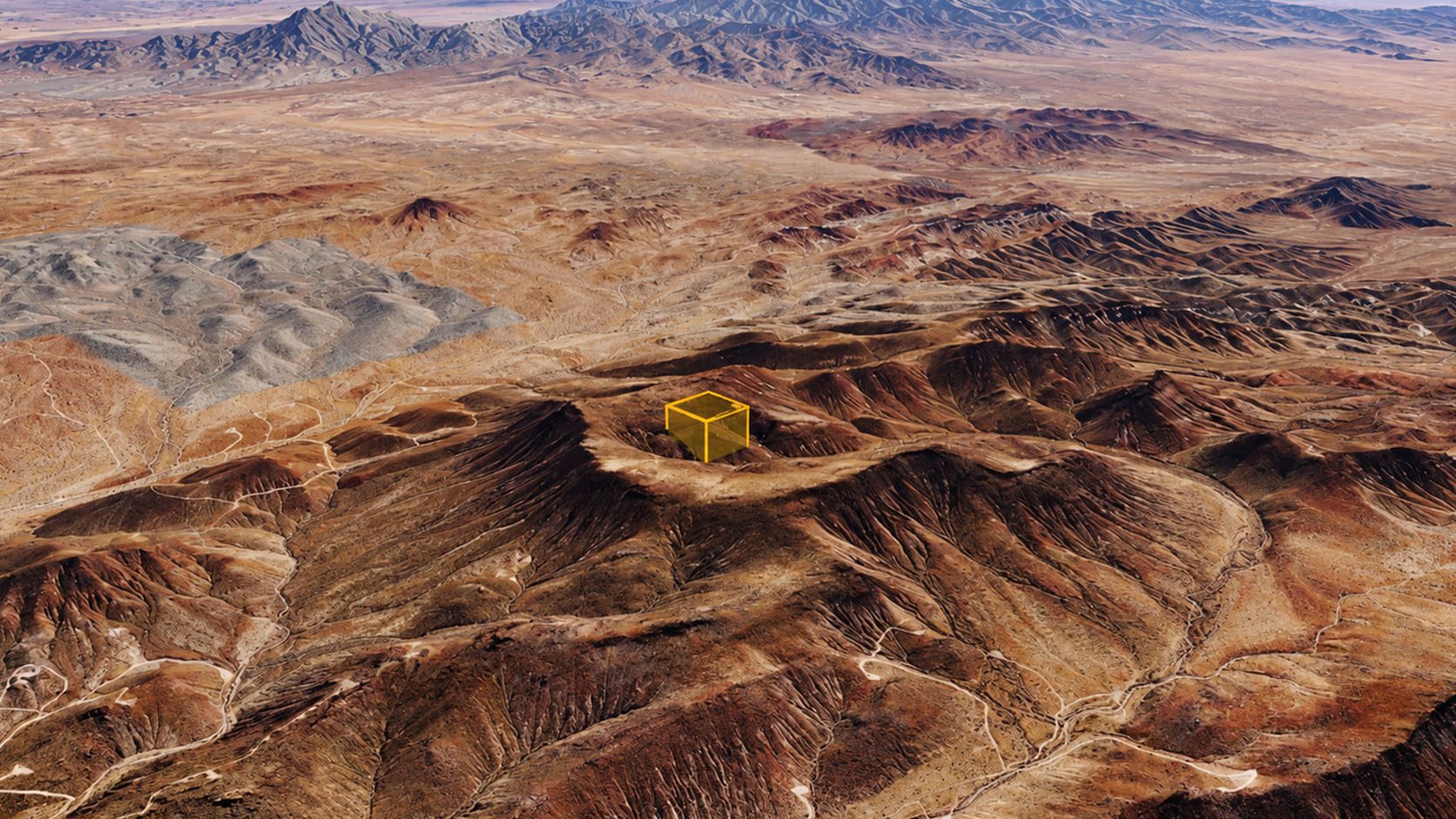
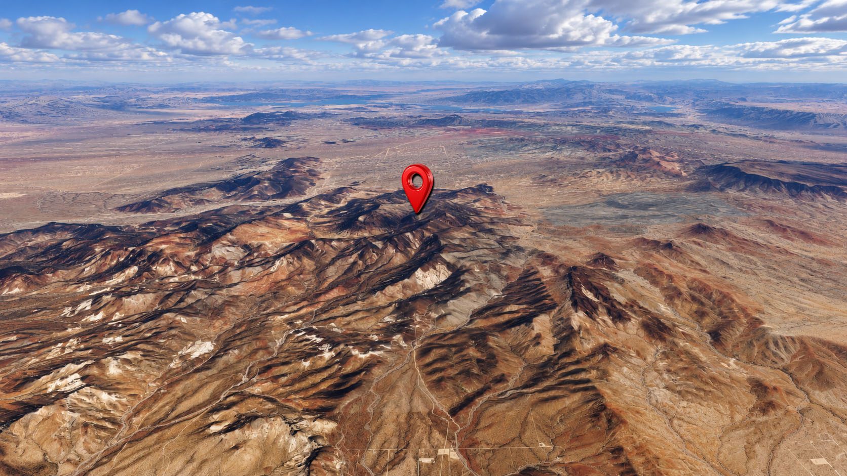
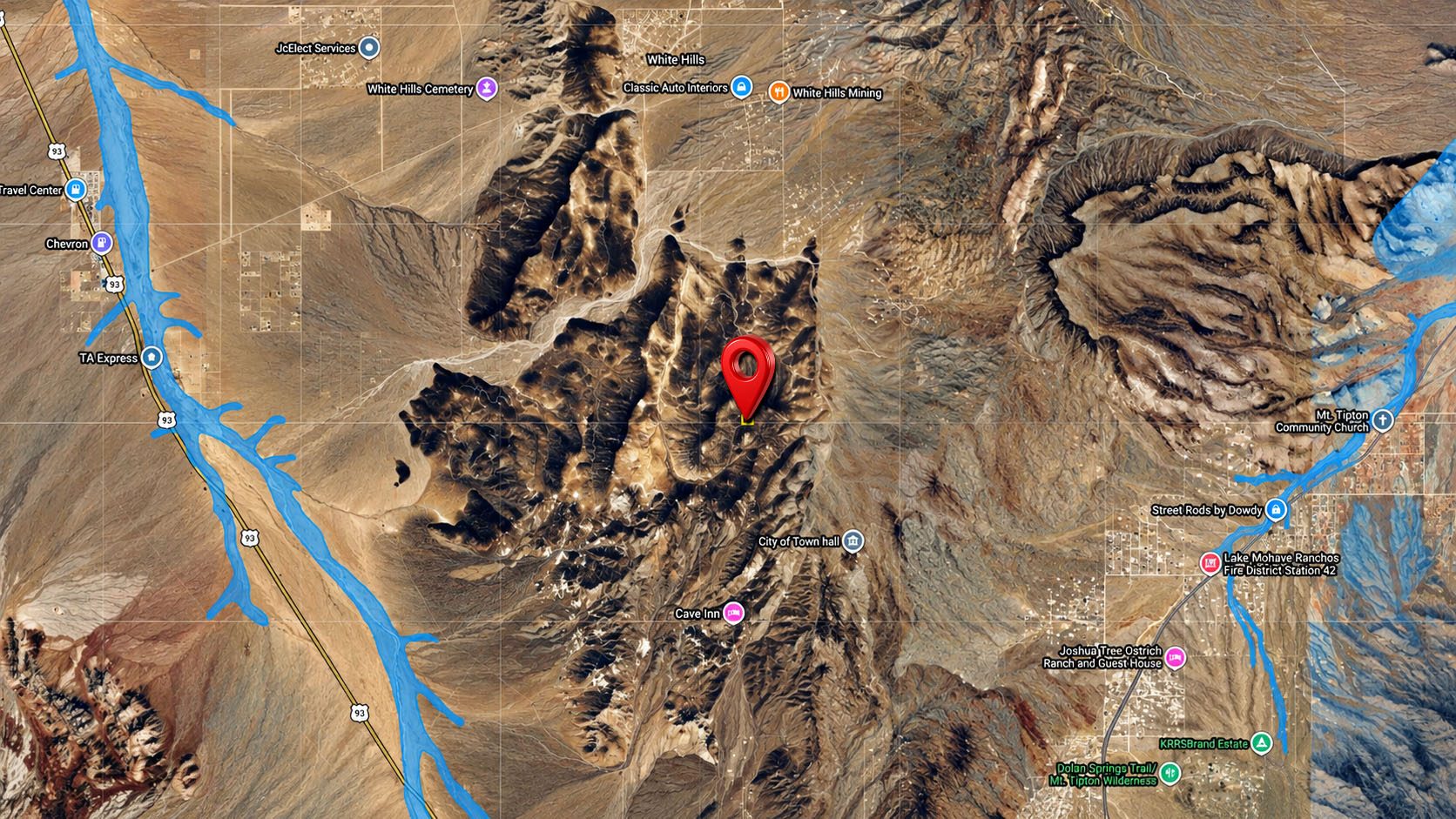
Discover the wide-open beauty of the Arizona high desert with this 8.82-acre property in Kemo Ranches near Dolan Springs, Mohave County, Arizona. Surrounded by rugged desert landscapes, scenic mountain views, and expansive open skies, this property offers an opportunity to own a piece of land in a peaceful, natural setting away from the crowds and busy city life.
Whether you're looking for a recreational getaway, a place to enjoy outdoor adventures, or land to hold for the future, this spacious parcel offers room to explore your interests and appreciate the natural surroundings. Enjoy the desert scenery, take in the beautiful mountain views, and experience the quiet atmosphere of this unique region.
The surrounding Mohave County area is known for its dramatic mountain terrain, open desert landscapes, and outdoor recreation opportunities. Dolan Springs offers access to local amenities, while the greater region provides opportunities for exploring scenic routes, hiking, and enjoying the outdoors. Lake Mead National Recreation Area is also within the broader region, offering additional options for outdoor adventures.
With 8.82 acres of vacant land, this property offers space for recreational enjoyment, camping where permitted, or long-term land investment, subject to applicable county regulations. Its location in the Arizona high desert may appeal to buyers seeking open space and an opportunity to own land in a scenic area.
Explore the possibilities of owning land in Kemo Ranches and discover the natural beauty of Mohave County, Arizona.
📋 Property Details
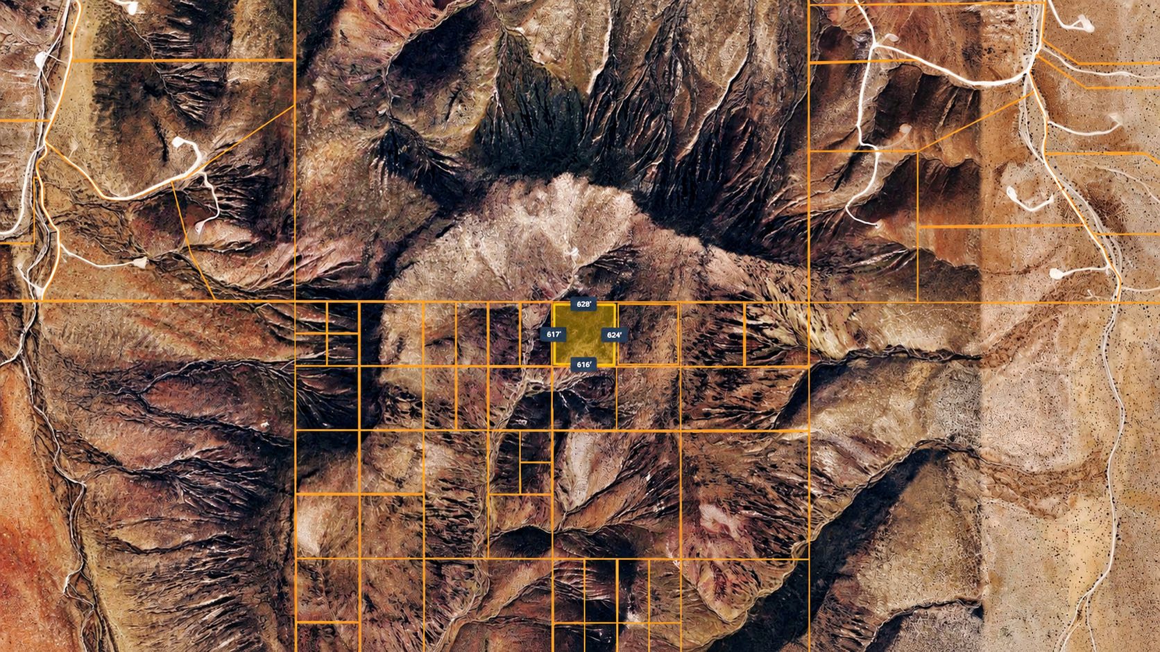
Parcel ID31904003F
Acreage8.82 acres
CountyMohave
StateArizona
ZoningAgricultural - Vacant Land
Land UseResidential
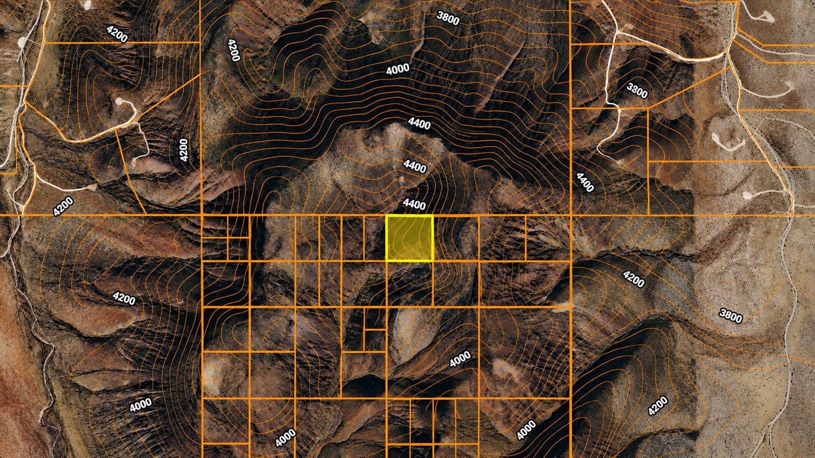
Elevation4244'
Square Feet384,199 sq ft
Annual Taxes$67.28
Legal DescriptionKEMO RANCHES NW4 OF LOT 19 TOGETHER WITH 20' ON ALL FOUR SIDES FOR ROADWAY 145/394 O.R. (EXCEPTION) CONT 8.82 ACRES
⚡ Features & Utilities
TerrainHilly
AccessLandlocked
ConveyanceWarranty Deed
RV LivingNot Allowed
Mobile HomesNot Allowed
Manufactured HomesNot Allowed
CampingAllowed
Recreational UseAllowed
PowerOff grid
📍 Area Information
School DistrictKingman Unified School District
Flood ZoneX
Nearest TownKingman
🧭 GPS Coordinates
Center35.675892, -114.335073
Northwest corner35.676743, -114.336121
Northeast corner35.676740, -114.334030
Southwest corner35.675044, -114.336116
Southeast corner35.675042, -114.334024